Allroad Motorcycle Touring GPS Navigation
I think that allroad motorcycle touring is not so much about making impressive miles and reach a remote target somewhere. It`s more about enjoying the surroundings, scenes, meeting locals here and there, but also to enjoy the road itself. Simply the quality of miles counts. Therefore route planning is essential part of a successful and fluent allroad navigation. Without any preplanning there is a grate risk to miss something out of the ordinary and interesting along the road. Personally I prefer some contrast, something old with history, remote, even small and simple with ordinary people.
Easy and fluent motorcycle touring navigation requires some preplanning for rough routing at least, general paper maps or a road atlas of the area and a GPS navigator device with related maps for targeting daily destinations through waypoints. A helmet headset with intercom and bluetooth would be also practical in navigation in terms of spoken directions. Especially in dense traffic with frequent twists and turns spoken directions are helpful.
Preplanning the route ONLINE gives a lot of information that helps to put up a trip schedule, optimise the equipment, book reservations, prepare a budget for foreign currencies etc. for the trip. Today there are versatile tools to do so and suggested routes to start from. It has never been this easy and accurate to plan the allroad trip.
Route Planning with MOTOPlaner
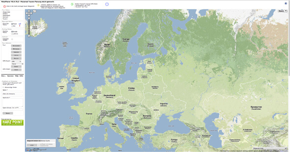
Creating a route with a German MOTOPlaner is very simple mouse clicking by pointing they way up to the destinations. The map itself is the same as GoogleMaps, but the tools to work out a route are different and simple to use. The difference come from direct conversion to desired navigator file type without playing with the navigator specific editing software. As soon as the route is made and ready in the MOTOPlaner, the action tools allow to generate and export a ready to use GPX, ITN etc. route file to the personal computer. Note that there are separate GPX -file types for Garmin Navigators which are not reading plain GPX -files. The route file can be easily placed directly in the navigator memory with the computer. Now the route can be opened with the navigator. The GARMIN Zumo 660LM Motorcycle GPS navigator even asks whether to bring up the new route found from the memory. The German MOTOPlaner is a very good and simple routing tool and I prefer to use it due to the quick utilisation features.
Route Planning with GoogleMaps
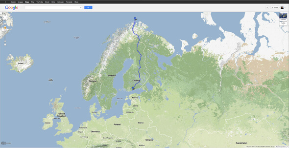
Planning a route with GoogleMaps is another way to plan a route, but consists of several steps and turns. Type the point of start and destination in the check boxes and start editing the route by giving new waypoints. Both terrain and satellite views tell a lot about the general nature of surrounding in question. GoogleMaps gives the total milage which helps to divide the route into practical LEGs and to determine daily destinations. At the same time you can online easily gather contact information to interesting accommodations, tourist info centres etc. and save it in the phone. The GoogleEarth -mode can also show you 3D bird view and run you a fly over animation through the planned route which would give a good idea of how successful the route could be. This allows you to see all those locations that are not otherwise visible and can be easily missed when ridden through the area.
Transferring GoogleMaps Route to GPS Navigator
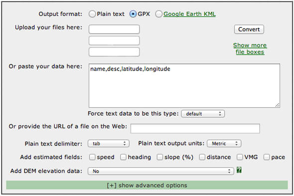
This is all basically very very simple, once it is done. The best way to store the planned GoogleMaps route or path would be saving it in the personal GoogleMaps profile by a specific name and convert the path into a GPX file for GARMIN navigators or ITN file for TomTom navigators (new TomTom navigators also convert GPX files into ITN in the device itself). The GPS Visualizer converter tool creates GPX files by providing it the GoogleMaps URL link to the specific route (or alternatively the KML file which can be first downloaded into the computer from the GoogleMaps route settings). As a result the GPS Visualizer provides a link to download the GPX file into the computer. Then open the navigator management program, such as GARMIN BaseCamp (free) or TyreToTravel Basic (free) and open the downloaded path file which should be shortly visible in the program. Then choose the path and turn it into a navigator route for sending it into the navigator device. Before sending the route can be edited in the program when necessary. Now the route is available in the navigator and once you have made the trip, perhaps with few spontaneous changes, you can also save the track (tracking mode ON) in the GoogleMaps and share it in the social media for example.
MC Navigation with Smartphones and Tablets
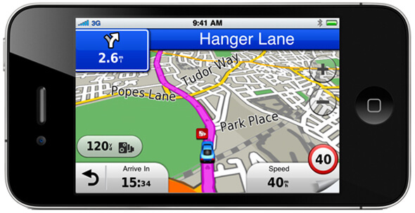
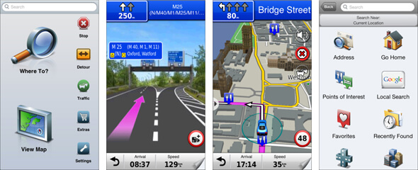
When using smart phones or tablets as a navigator, you need a separate Google Maps application which reads the GoogleMaps profile and has navigation features or a navigation program with internal maps such as GARMIN StreetPilot® or TomTom Navigation app which opens the route files as above. Note that the GoogleMaps application uses the mobile network in oder to update the screen and information along the road, but the GARMIN StreetPilot and TomTom -maps are stored in the device itself and therefore require no mobile network.
Route Planning with GARMIN BaseCamp
The GARMIN offers a free planning tool GARMIN BaseCamp which is very simple to use, but there are also short tutorials in the YouTube for basic operations. The BaseCamp uses the map information from the navigator itself which means that the device should be connected to the computer while creating new routes.
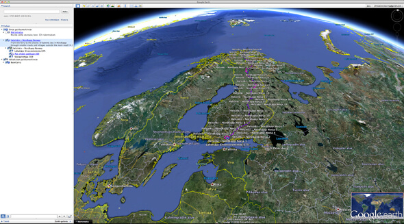
Once there is a new route, it can be transferred to the navigator with a simple send function. Before doing so, you can also view the new route in 3D with a free GoogleEarth App and fly over the route for inspection. Unfortunately the free GoogleEarth App does not allow to edit the route, nor transfer the route into GoogleMaps and a personal profile for further use.
Topographic Paper Map Navigation
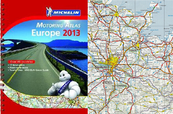
The traditional way with a good detailed topographic paper map 1:500 000 gives also a good general view about the areas of interest. A tablet with detailed map source with terrain information is more dynamic routing tool on the road due to the reason that the tablet screen is nicely scalable, giving ideal way of going into details and back. At least if we are not looking at cost efficiency, nor taking the most challenging route with the highest risks of damaging the device. Both with the paper map and the tablet, the rider can easily set daily destinations to the navigator and most of all mark the waypoints through interesting areas without loosing the orientation with the small navigator screen. A comprehensive road atlas with a spiral binding and a tank bag with a map pocket on top is very functional old school method which is still very competitive and worth for a recommendation. International road maps and atlases can be found for example at Maps World Wide and MICHELIN.


